Map Definitions
Map definitions are found in the preferences.
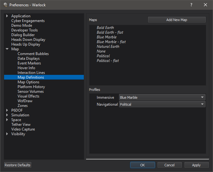
The map definition preferences provide an interface for adding new terrain databases to the application. Clicking on “Add New Map” provides an option to add a new map. New maps will take a file and a name. Right clicking on a map will provide options to delete the map, or to rename it. The application will take osgEarth earth files, which may be used to combine imagery and elevation data to create background maps. The italicized maps are built-in and cannot be altered or removed from the preferences.
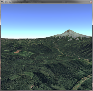
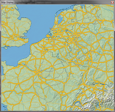
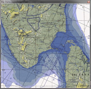
Examples of maps built with osgEarth:
The map profiles section allows a map to be chosen for immersive displays (such as tethers or cockpit-views) and navigational displays.
Note
Units preferences are shared among all AFSIM visual applications.