Terrain Tools - Wizard
Line-of-sight
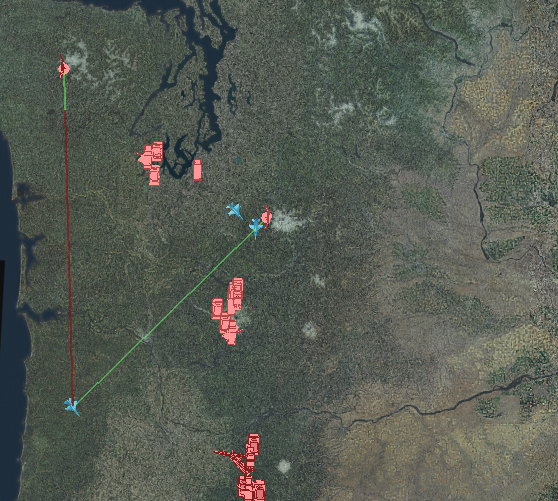
The line-of-sight tool allows a line to be drawn between two entities which will show when the line-of-sight is blocked by terrain. The application will use the terrain that is defined in your scenario. To create a line-of-sight right click on the source entity, and choose Line-of-sight from the context menu, then draw the line to the second entity. Entities may be platforms, tracks, or annotation points-of-interest. Once the line is complete it will be green from the source entity, and turn red at the point of intersection with the terrain. Lines-of-sight may not complete their calculations instantly.
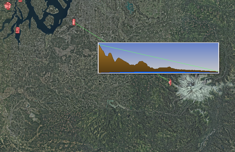
Hovering the mouse cursor over the line-of-sight will display the terrain profile between the source and target entities. Terrain profiles are always drawn with the source entity on the left, and the target entity on the right. The vertical scale will not match the horizontal scale.
Right clicking on a line of sight provides options to set a mast-height on the source entity. This will add the provided length to the source entity’s height for the calculation. There is also an option to plot the line-of-sight’s height above terrain.
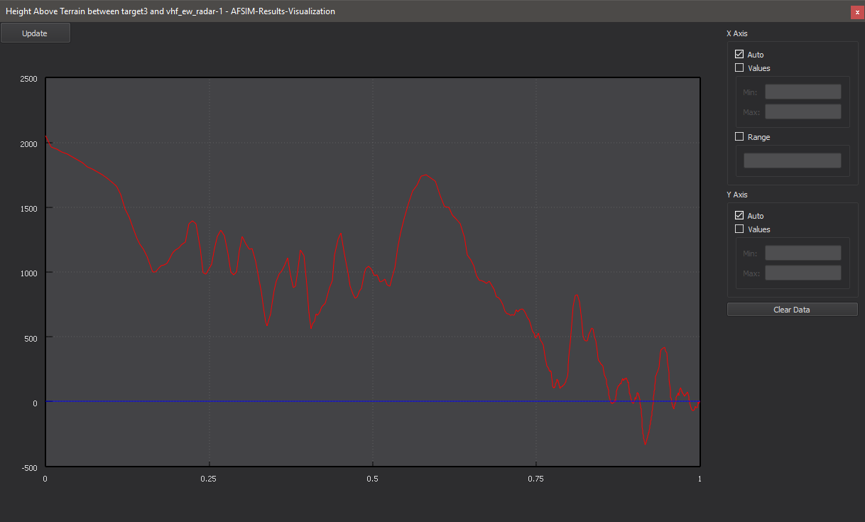
The update button on the height above terrain plot will update the plot to the most recent update of the line-of-sight.